Rare volume of maps return back to Barnsley
2nd February 2021
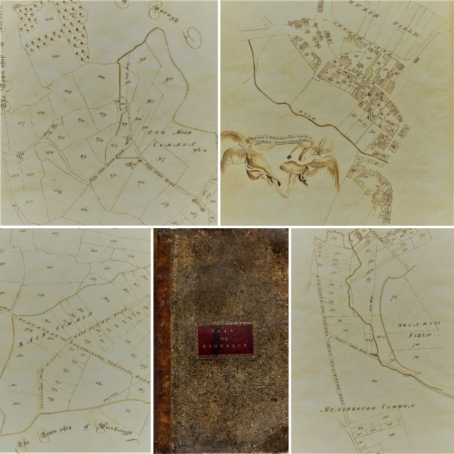
Barnsley Archives and Local Studies have successfully purchased, with the help of Barnsley Museums & Heritage Trust, a volume of fifteen rare hand drawn Barnsley maps dating back to 1800, from a London auction. The maps are based on the Barnsley Enclosure map of 1779 and include details of changes to the town in the years following.
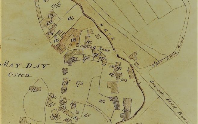
Recognisable street names like Westgate, Market Hill and Cheapside are featured, as well as a few which have long since disappeared such as Jumble Lane and Back Lane Road. The maps also feature individual buildings, landmarks and footpaths.
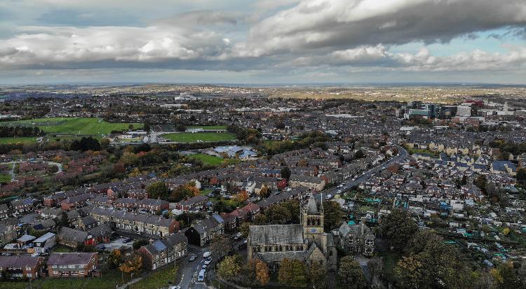
The purchase of the maps is particularly poignant as Barnsley Town Centre is currently undergoing a major transformation and these unique maps capture the heart of the town as it was over 200 years ago. Each map measures 370 x 225mm and were originally drawn by local linen manufacturer and landowner Francis Kendray (1774-1840), after whom Kendray Hospital and subsequently the Kendray estate were named. His grand residence was situated between May Day Green and Eldon Street, not far from where the Lightbox and Barnsley Market are situated today. The Kendray family donated vast sums to the town back in the 19th century.
We were delighted to help fund the purchase of these historical rare maps and are glad to see them back where they belong in Barnsley.